Maps4Science provides the Dutch academic community easy, fast, cost-effective access to the wealth of spatial data (also known as geo-information - GI) that is available, both earth and socio-economic data including multi-temporal and level of detail support. GI is an enabler for new research in domains like biology, medicine, architecture and history. The science case is the integral of mono-disciplinary sciences cases in addition to setting up a unique science programme for studying and improving the facility.
The Netherlands is historically known as one of worlds' best-measured countries. It is continuing this tradition today with unequalled new datasets, such as the nationwide large-scale topographic map, our unique digital height map (nationwide coverage; ten very accurate 3D points for every Dutch m2) and a range of public and private collections of environmental and socio-economic geo-datasets. Despite the wealth of existing and well-maintained geoinformation (GI), the access to GI for our academic community is rather poor. In particular, science domains discovering the enabling power of GI have difficulties in accessing and using it. Initial analysis shows that i) legal and commercial licence restrictions, ii) technical inability to deal with more advanced types of spatial data and iii) lack of awareness are the top three barriers preventing large uptake in science. This is a missed opportunity to achieve scientific breakthroughs in a wide range of scientific disciplines.
Nowadays, science groups gain competitive advantage through using the ICT infrastructure in a creative and productive way. As 80% of all data has a spatial component, the emerging availability of GI and the growing ability for real time monitoring make it a very powerful enabler in many scientific fields. Maps4Science will provide scientists with the required geo-information and associated tools and services for discovery and analysis. It will provide a geo-ICT infrastructure to allow unrestricted experimentation, linking and discovery of information, as much as possible.
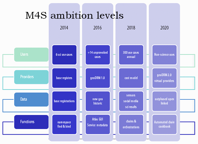
The facility will need a 2 year initial stage to start and develop its required SCI. This will be followed by a 5 year operational stage. In its 5 year operational stage the facility will develop science and talent cases that will exploit the abilities of this facility in creating science that makes a difference. The consortium includes the participation of university libraries, DANS, and main data producers. They will play a role in continuation of the facility after its conclusion. The living lab will consist of a community construction with public and private bodies to recognize and develop potential valorisation aspects. This may include participation in EU calls for FP7 and FP8 or ICT Research. The facility will require a budget of 22,8 M€ of investments, operational costs and additional research. Consortium partners will bring in at least 25% of own contributions (today already spent on sub-optimal local facilities), possibly much more if the value of the geo-data provided and maintained by partners is considered.